Neueste Beiträge
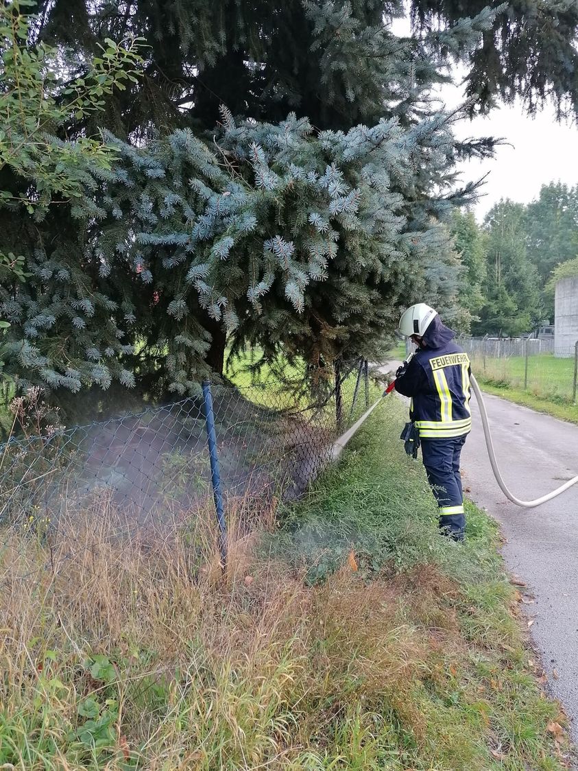
Am vergangenen Samstag den 16.10 kam es um 2:49 zu einer Alarmierung […]
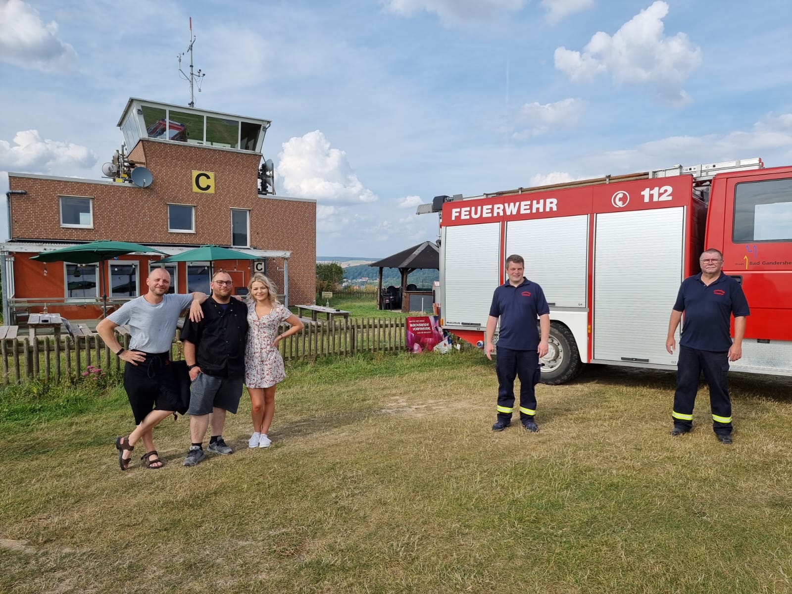
Dank der großzügigen Unterstützung des lokalen Restaurants Fly Inn auf dem Gandersheimer […]
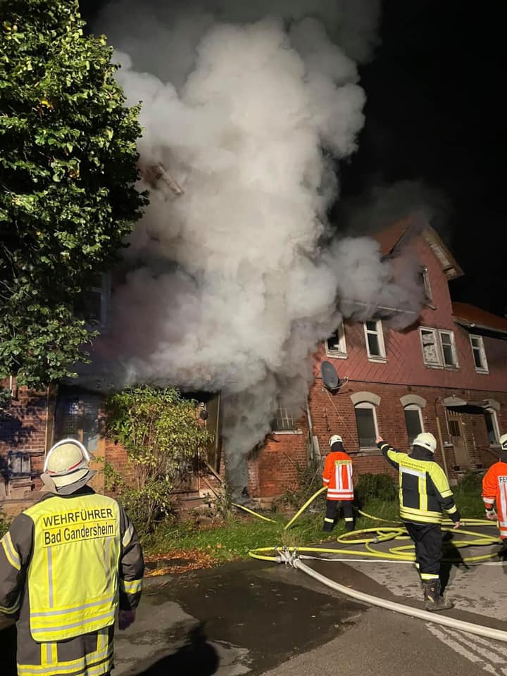
Heute Morgen wurden wir um 7:30 Uhr zu einem Brandeinsatz in Hachenhausen […]
Du willst Mitglied werden? Kein Problem!
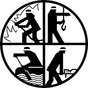
Über uns
Die Ortsfeuerwehr Harzbörde ist eine Fusion der ehemaligen Ortswehren Harriehausen und Hachenhausen. Fehlender Nachwuchs war, wie in so vielen Ehrenämtern ein Hauptgrund. Mit dem gemeinschaftlichen Zusammenschluss im Jahr 2015 konnte dieses Problem gelöst, und eine größere und gemeinsame Feuerwehr geschaffen werden. Dies war ein Erfolg in vollem Umfang. Die Feuerwehr Harzbörde ist heute eine moderne und gut aufgestellte Feuerwehr mit Grundausstattung. Die Fusion hat zu großen Verbesserung bei der Anzahl der Mitglieder und der Dienstbeteiligung geführt. Heute gehört die Feuerwehr zu einer der größten im Bad Gandersheimer Stadtgebiet und umfasst über 200 Mitglieder.
Unsere Unterstützer
Aus der Region – Für die Region